UN
57 St Davids Road
£ 225,000
Description
We don't have a Description for this property.
- Bedrooms
- 3
- Bathrooms
- 0
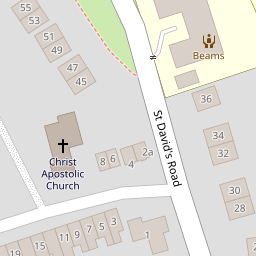
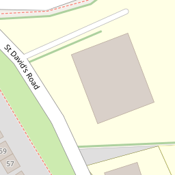
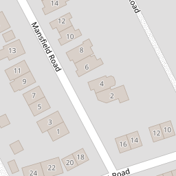
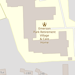


Leaflet © OpenStreetMap contributors
The heatmap indicates the level of crime in the area. The color of the heatmap indicates the crime severity and recency.
Metrics Year-on-Year
- Average area value
- 882,222.00 £Increased by 18.32 %
- Average area rental value
- 2,130.00 £/moDecreased by 15.31 %
- Est rental Yield
- 2.90 %Decreased by 28.40 %
- Crime Rate
- 8.00 %Unchanged by 0.00 %
from 745,607.00 £
from 2,515.00 £/mo
from 4.05 %
from 8.00 %
Nearby Schools
| Name | Type | Ofsted | Distance |
|---|---|---|---|
| Hextable Primary School | Community School | Good | 0.27 KM |
| Joydens Wood Infant School | Academy Converter | Good | 1.57 KM |
| Joydens Wood Junior School | Academy Converter | Good | 1.58 KM |
| Swanley Children'S Centre | Children's Centre | 1.60 KM | |
| Horizon Primary Academy | Academy Sponsor Led | Good | 1.60 KM |
Images
Nearby Streets
| Name | Average Price | Average Sqft | Distance |
|---|---|---|---|
| The Beeches | £ 0 | 0 | 0.00 KM |
| Main Road | £ 0 | 0 | 0.00 KM |
| New Barn Road | £ 0 | 0 | 0.00 KM |
| Alexandra Close | £ 350,000 | 0 | 0.00 KM |
| Dene Close | £ 800,000 | 0 | 0.00 KM |
Nearby Transport
| Name | NLC | TLC | Distance |
|---|---|---|---|
| Swanley | 5075 | SAY | 2.48 KM |
| Crayford | 5100 | CRY | 3.92 KM |
| Bexley | 5093 | BXY | 4.64 KM |
| Dartford | 5101 | DFD | 5.81 KM |
| Barnehurst | 5089 | BNH | 6.19 KM |
Nearby Listings
| Address | Price | Type | Score | Distance |
|---|---|---|---|---|
| St Davids Road, Hextable, Kent, BR8 | £ 450,000 | BUY | Unknown | 0.08 KM |
| Rowhill Road, Hextable, Swanley | £ 425,000 | BUY | Unknown | 0.13 KM |
| Rowhill Road, Hextable, Swanley, BR8 | £ 310,000 | BUY | 5 / 10 | 0.13 KM |
| Rowhill Road, Swanley, Kent | £ 325,000 | BUY | Unknown | 0.13 KM |
| Emerson Park, Rowhill Road, Hextable, BR8 | £ 365,000 | BUY | 6 / 10 | 0.21 KM |
Nearby Properties
| Address | Price | Distance |
|---|---|---|
| 57 St Davids Road | £ 225,000 | 0.00 KM |
| 77 St Davids Road | £ 300,000 | 0.00 KM |
| 27 St Davids Road | £ 335,000 | 0.00 KM |
| 55 St Davids Road | £ 400,000 | 0.00 KM |
| 19 St Davids Road | £ 249,995 | 0.00 KM |